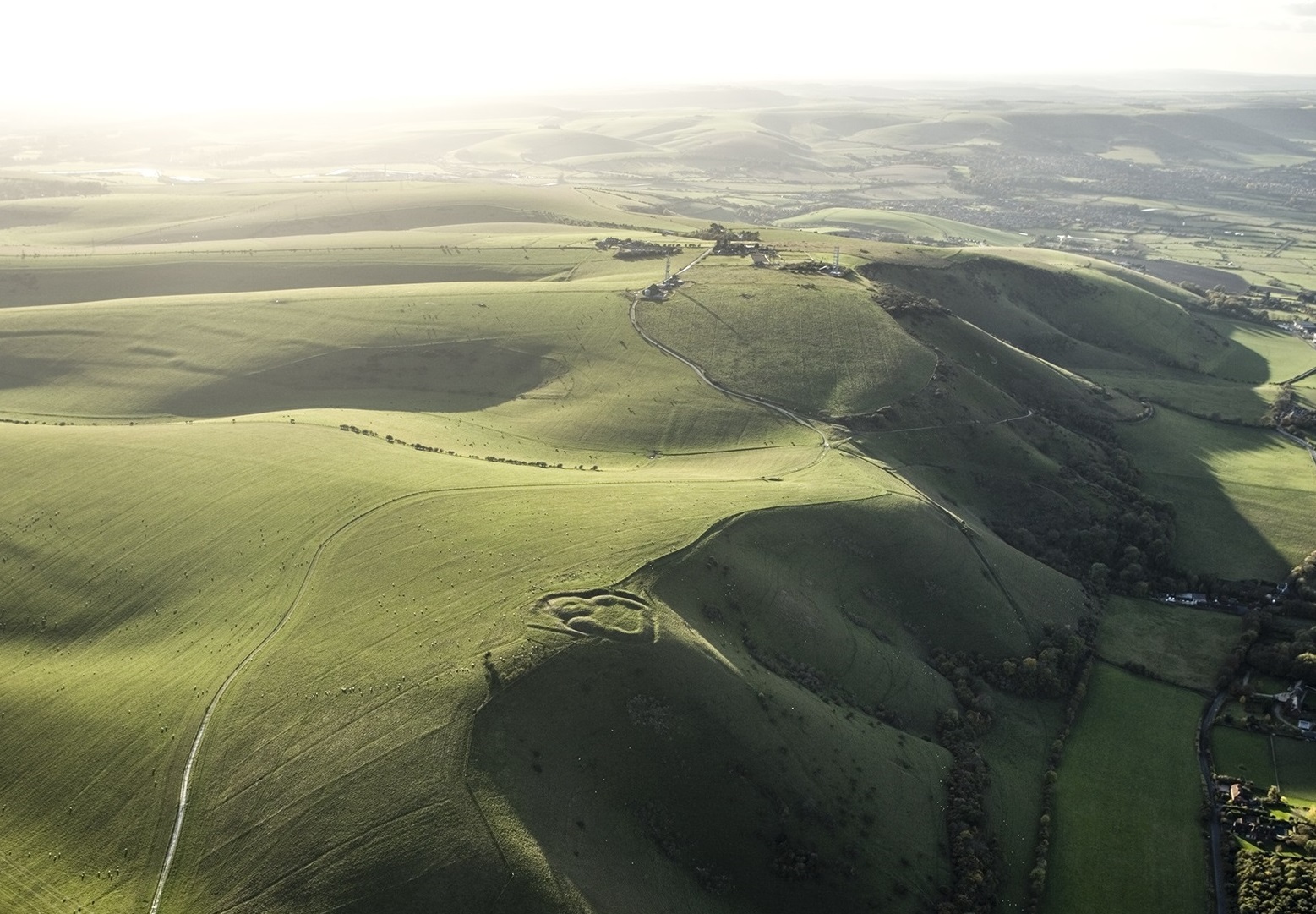
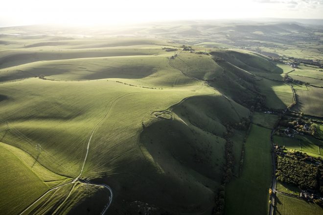
Breathtaking aerial imagery has shone a spotlight on the incredible archaeology of the South Downs National Park and how our ancestors have shaped the landscape.
Historic England has used aerial imagery to map hundreds of archaeological sites dating from Stone Age times over 5,000 years ago to the Second World War.
The area studied covers 192 sq km north of Brighton.
Meanwhile, an interactive map has been produced that encourages people to discover and connect with the landscape and learn about its remarkable past.
“Downs from Above” is one of 18 projects being delivered as part of the Changing Chalk partnership, which aims to engage communities to connect with the cultural heritage of the National Park. The partnership is led by the National Trust, supported by a National Lottery Heritage Fund grant and funding from People’s Postcode Lottery, with the National Park Authority as one of the partners.
Tom Foxall, Regional Director at Historic England, said: “From the echoes of Neolithic ceremonies to the upheaval of the Second World War, these archaeological sites contribute to the unique character of the South Downs. They have been brought together in our new interactive map using aerial sources and archive research.”
Gary Webster, National Trust Heritage Officer and lead for the Changing Chalk Downs from Above project, said: “Utilising aerial photos, both old and new, and lidar images from laser scans, the Downs from Above mapping can give us a unique way to understand our Downs, and our heritage on them. Not only are new features being discovered, but the true character of existing features are being recognised for the first time.
“This new data is a great resource, both for amateurs and experts alike, to get onto the downland and really see what is just below their feet.”
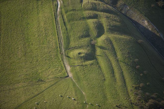
Historic England’s aerial investigation team analysed more than 9,500 aerial photographs as well as recent airborne laser scans (lidar) – a technique that uses an aircraft-mounted laser to build a 3D digital elevation model of the ground below – to locate, identify and map marks in the landscape which represent the thousands of years of human activity.
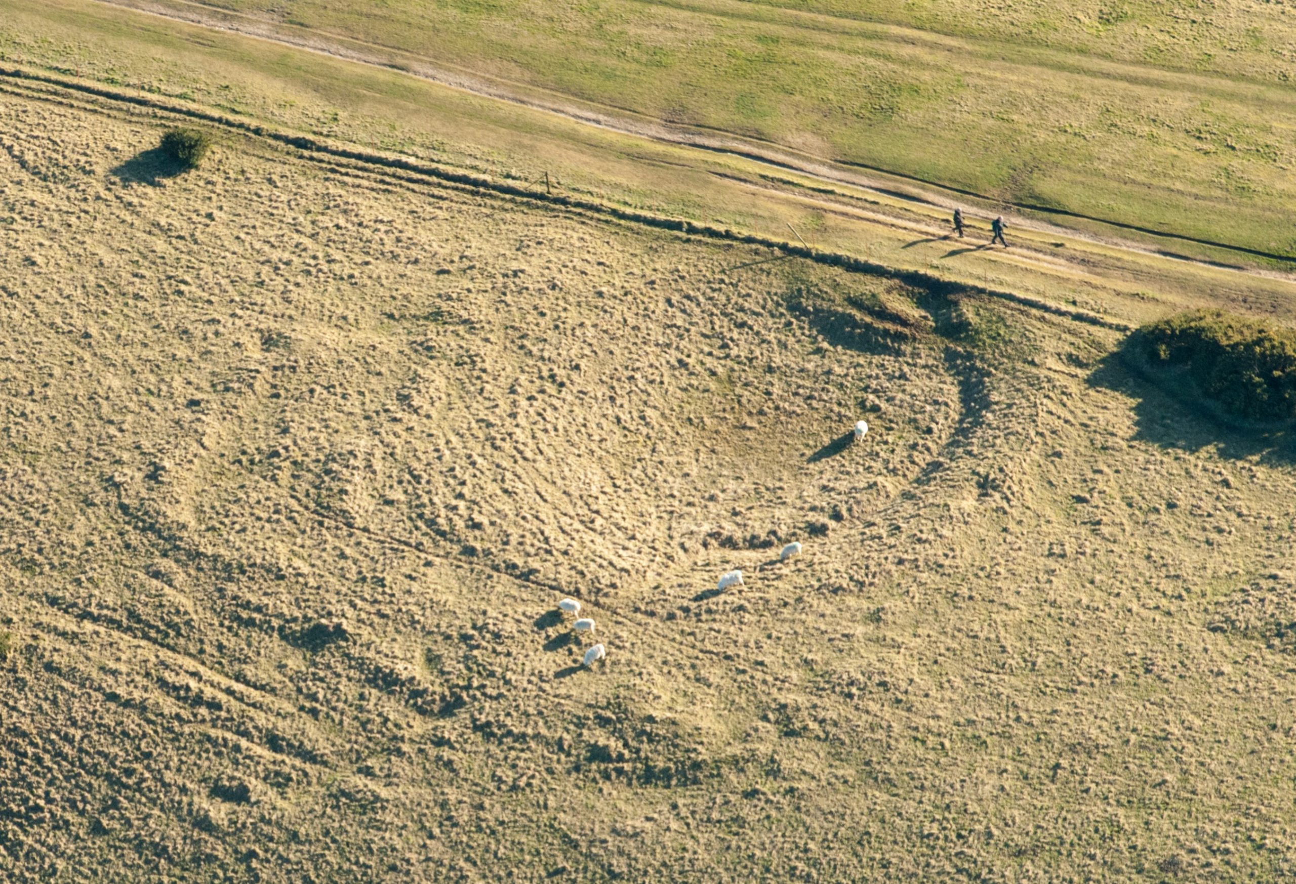
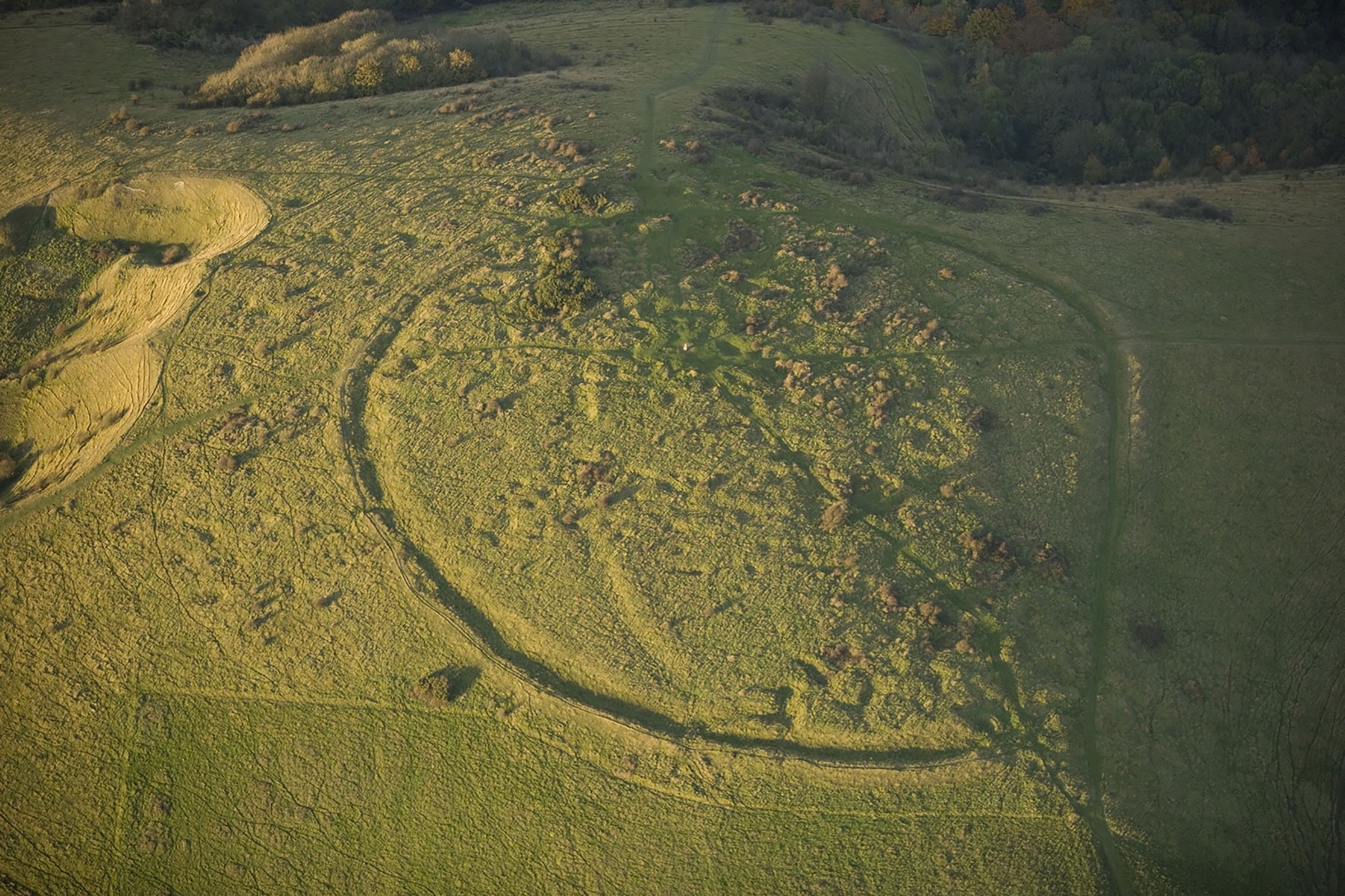
Among the archaeology photographed are ancient burial sites from the Neolithic (4,000 BC to 2,200 BC) onwards. These barrows can be found dotted across the Downs, although most are sited along the northern ridge. These early cemeteries often developed over many centuries, and in some cases acted as a focus for burials as late as the early medieval period (AD 410 to 1066).
Evidence of historic dew ponds – man-made drinking pools for animals – have also been found, including a dried out pond at Streat Hill.
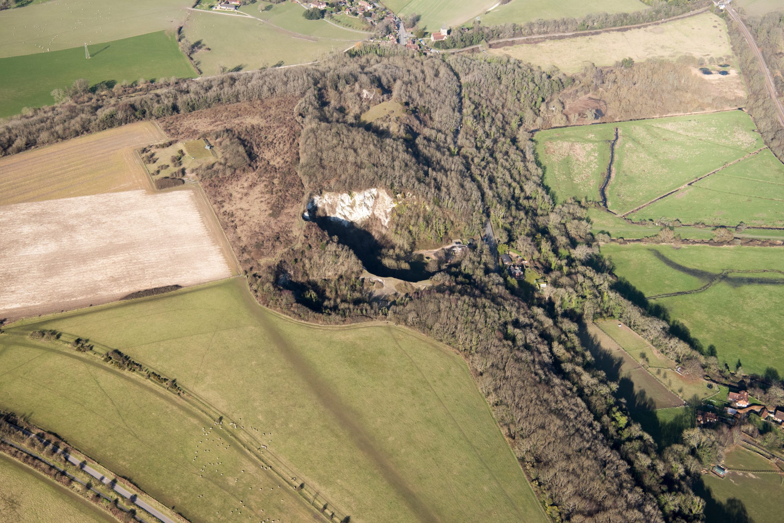
Chalk extraction and lime burning have also left their mark on the landscape. Offham, to the north of Lewes, operated a large chalk pit from 1809 to 1890. At its peak of production, Offham Chalk Pit had four lime kilns, which processed the chalk into lime which was transported away by river.
Anooshka Rawden, Cultural Heritage Lead for the National Park, said: “Downs From Above is a powerful testament of what has been lost, and what has the potential for restoration in terms of revitalised, expanded habitats and landscape character in the context of the biodiversity crisis. This initiative celebrates the heritage of the South Downs, as well as demonstrating the potential to inform its future.”
Download the full report here and check out the interactive map here.